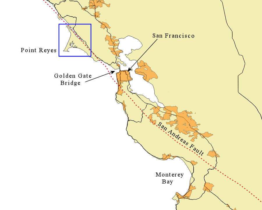
For both nature and history, the peninsula draws curious investigators. Named by the early Spanish explorer Sebastian Vizcaino “la Punta de los Reyes” (Point of the Kings), the area is now a National Seashore. From Highway 1, access the peninsula via a non-descript road going west from the town of Point Reyes Station. Following CA Route 1 north of San Francisco, the point juts out into the Pacific, as shown below, with a blue box showing the area of the second map.
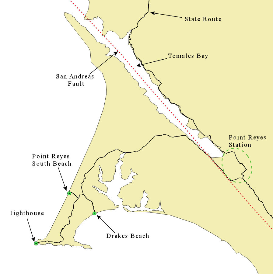
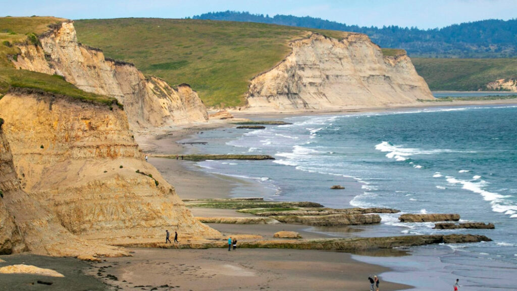
The peninsula history begins with the Coast Miwok people, who inhabited the area for thousands of years before Europeans began to arrive in the 16th Century. The English explorer Francis Drake is thought to have come ashore on what is now called Drakes Beach (below) in 1579.
The Point Reyes National Seashore website has info, including the following photo of Drakes Beach by A. Kopshever.
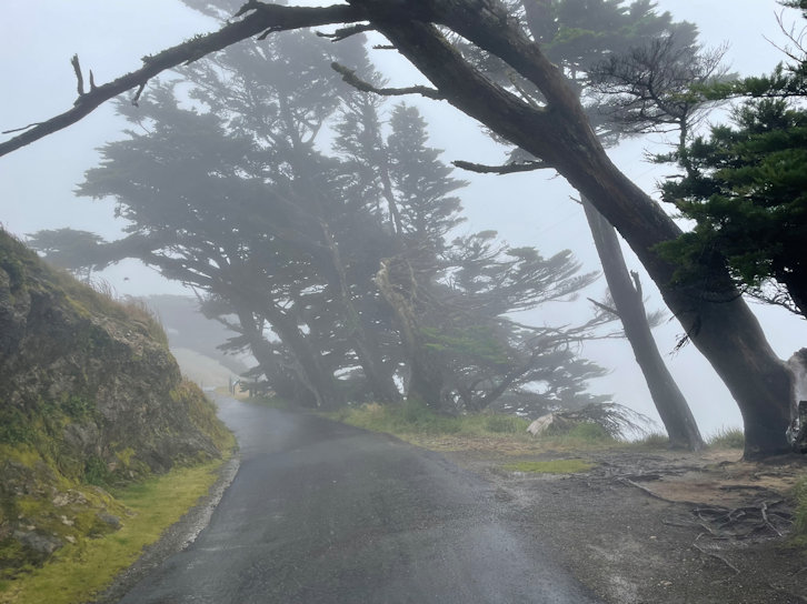
The peninsula is large enough that it does not easily accomodate a quick look from your car. To begin with, from the community of Point Reyes Station, the local road to the west does not look inviting. One cannot see anything of interest. The twenty mile drive from the town to the lighthouse does not follow the coast close enough to see beaches. In fact, much of the year everything is shrouded in fog, this being known as the foggiest place on the entire US West Coast. One could ask, “How can this be a National Seashore, when I cannot see any beaches?” The best weather may be found in late fall or early spring. Here is the lighthouse in July:
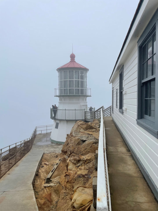
Getting to the lighthouse is a bit of a walk from the parking area, in addition to a descent on a long stairway. A July view along the walk to the lighthouse:
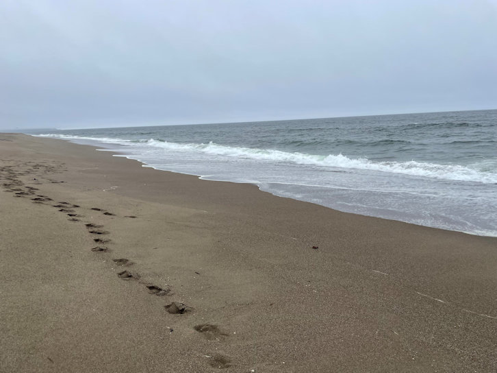
The Point Reyes South Beach (location shown on map above):
The little info center at the lighthouse was staffed by a lonely park ranger when we visited. I asked him about pronunciation and he said the correct Spanish would be “ray’-us” but most of the locals just say “rayz”. Whereas Drake landed here safely and shared goodies with the local natives, the following centuries saw many ships crash into the point, due to its jutting out from the otherwise linear coastline and the persistent fog. At one time in the early Twentieth Century the lighthouse area was staffed by volunteers who braved rough conditions to try to save survivors of shipwrecks.
The English can say they were first, with Drakes’ visit, but California was more thoroughly explored and settled by the Spanish, coming up from Mexico. Thus, the name Punta de los Reyes.
For hiking and camping, the National Seashore has numerous trails and campgrounds, and interior peaks that rise above 1000 feet of elevation. The beaches provide habitat for the endangered Snowy Plover, and many other bird species call the area home. Some beaches also accomodate seals. Elk and some cougar roam the interior areas, as well as the ubiquitous coyote.
For more of the California Coast, see my travelogues.