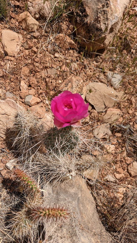
Aaron and I headed down the Grandview Trail in early May 2023. This backcountry trailhead is about 12 miles east of the main park area. The trail is not well maintained and a sign at the top cautions users. Here’s a map of the south rim area and the blue box shows the zoomed in area of the next pic.
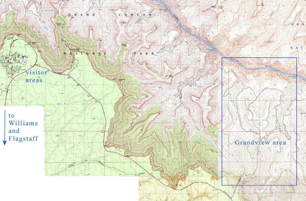
The Grandview area had been one of the earliest developed on the South Rim. Out on Horseshoe Mesa, to the north, late nineteenth century mining of copper did not prove viable. One interprising miner decided to build a hotel and provide guided tours of the canyon. (The hotel no longer exists.)
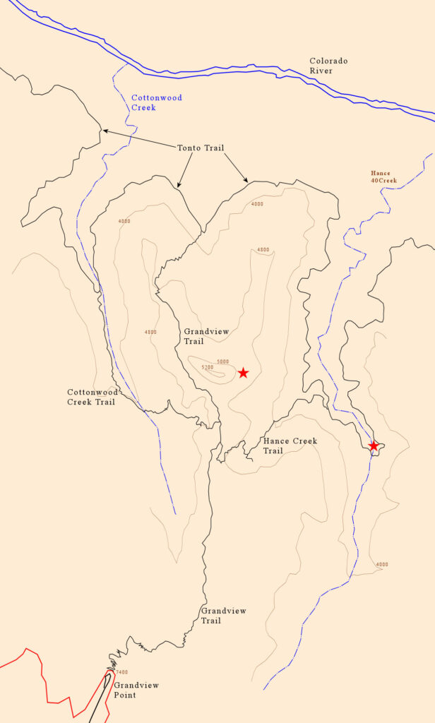
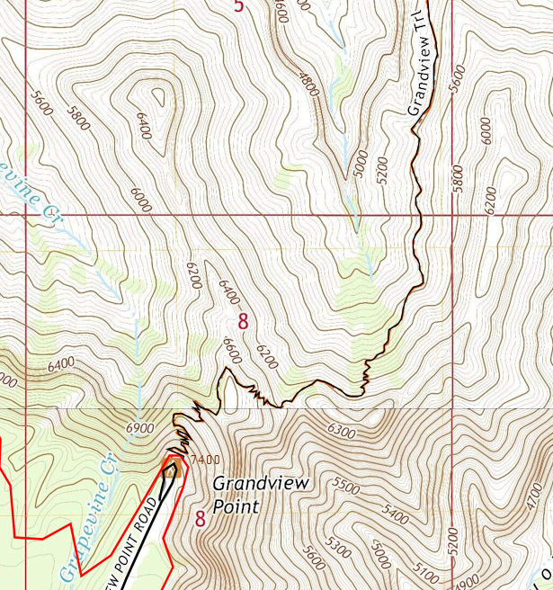
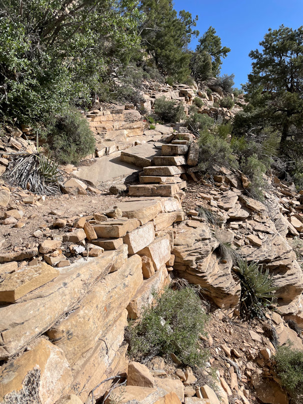
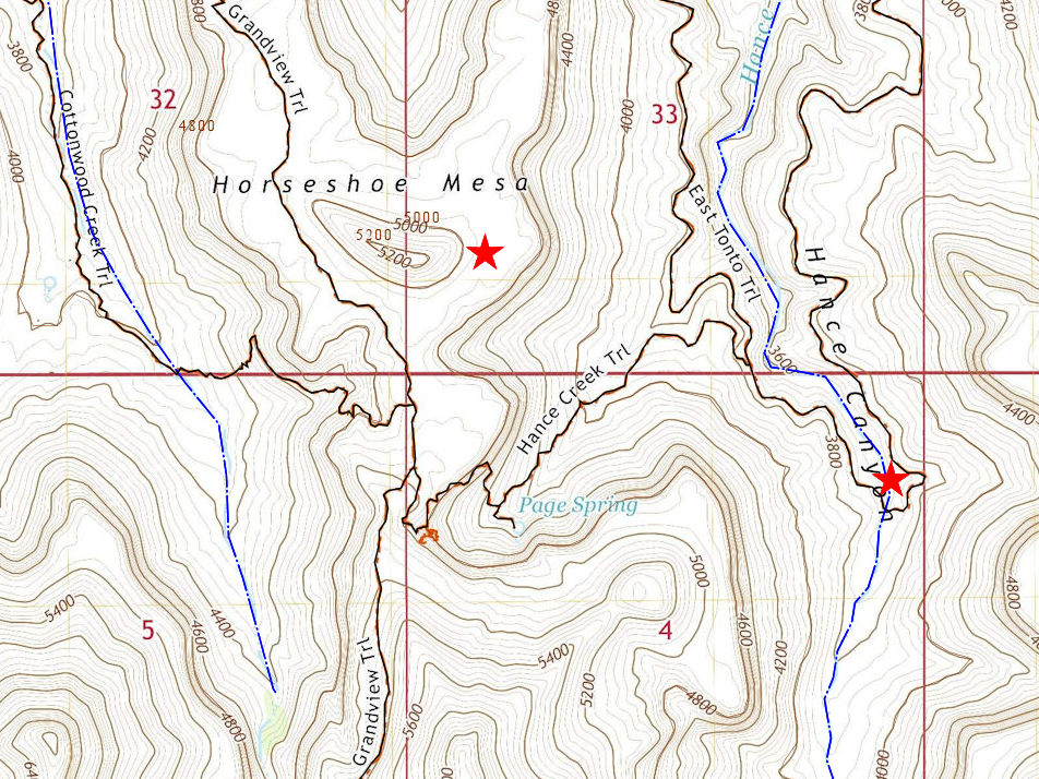
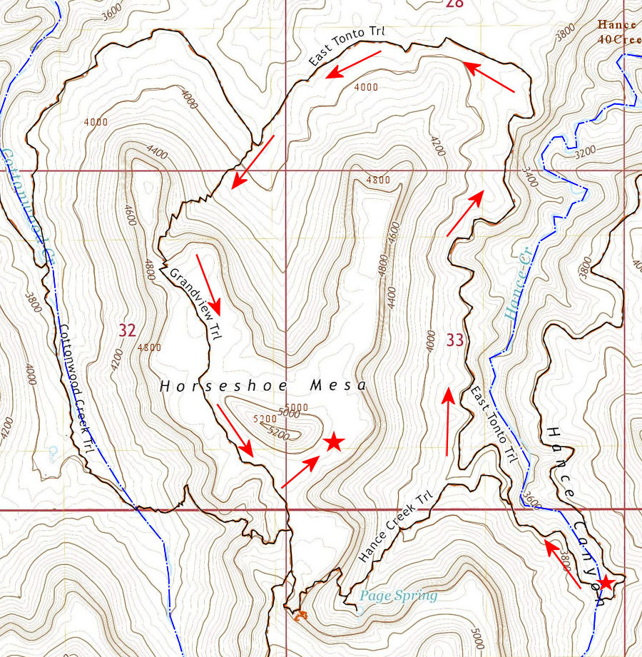
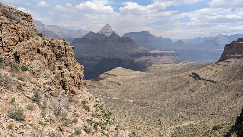
We were three days in the canyon, two at Hance Creek (the red star on the right, above) and one on top of Horseshoe Mesa (the star in the middle). The trip happened to coincide with an explosion of wildflower and cactus blooming, which we’ll show you below. Zooming in on the start of the hike, north from Grandview Point, descending on switchbacks:
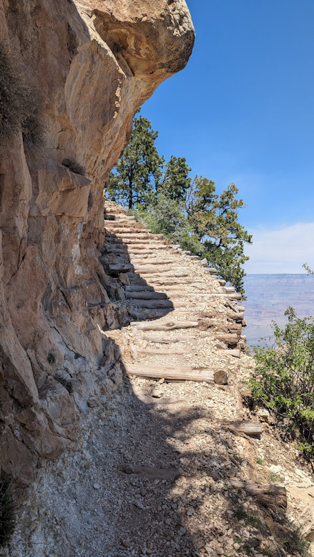
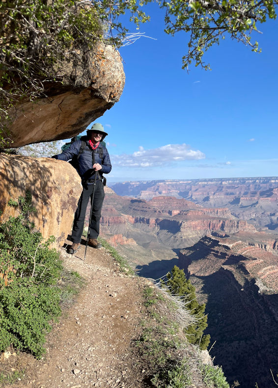
On the switchbacks, near the top, the trail gets skinny, but it looks more dangerous than it is:

These rapidly descending switchbacks don’t actually go that far. A person without a pack could get down to the 6700 foot level (see map above) in just twenty minutes or so.
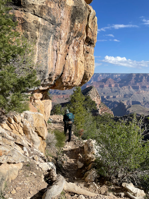
The early miners built this trail and used mules to pull out their mined copper ore. Those must have been some tough mules. Not to mention the miners. Most Grand Canyon trails were originally of Native American origin. Later efforts at trail improvement came from the railroad companies, wanting to make money from tourists. Other trail maintenance may have been done by the Civilian Conservation Corps in the 1930’s and 1940’s.
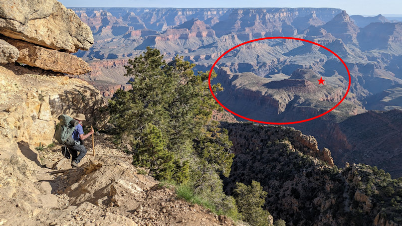
Although the Grandview Trail receives less maintenance attention than the corridor trails, we should not fail to credit modern park employees, who often get down there where a trail has been ripped out by a winter rock fall and make them passable again. On the descent, here’s a view of Horseshoe Mesa in the background. The opening of the “horseshoe” is toward the north and the Colorado River. The red star shows the approximate location of the camp location on the mesa.
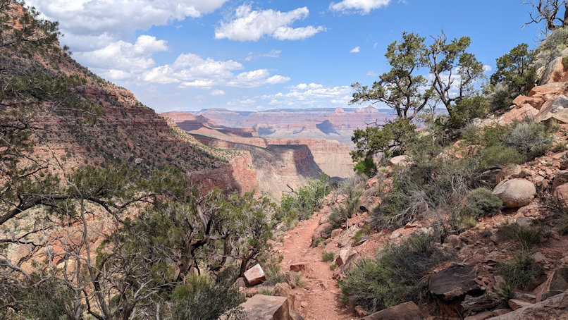
The Grand Canyon invites you in, but does not guarantee your safe return. The more rugged backcountry trails call for good hiking boots, strong legs, knees, and ankles, and a good sense of balance. A May trek will be less hot than July, but starting early is still a good idea. The mesa has no water, so we are hauling extra to be stashed for use when we return to the mesa from Hance Creek.
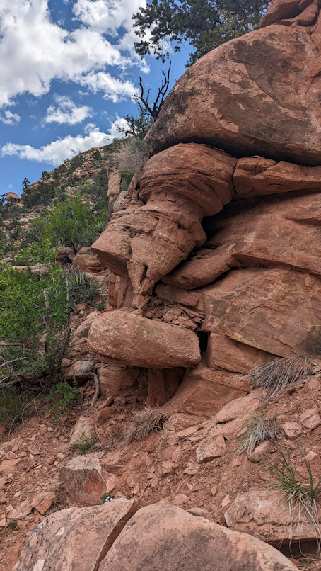
Not all interesting sights are in the distance:
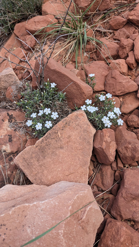
Many inexperienced desert hikers do not bring enough water. One must also be sure to eat so as to maintain electrolytes. If you are well prepared, the canyon also provides the experience of silence and opportunity to think or meditate.
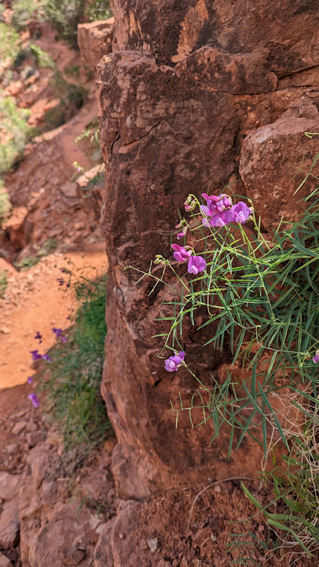
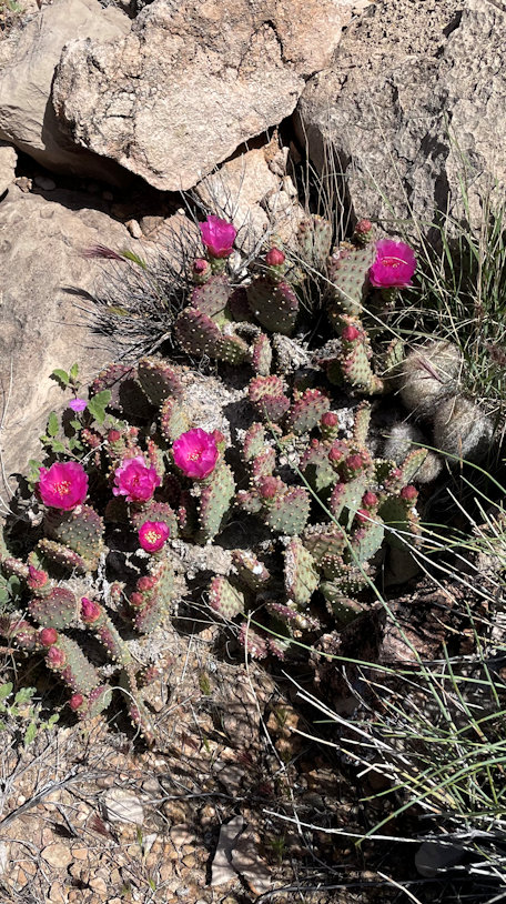
One might compose poetry in such a place, such as the following haiku:
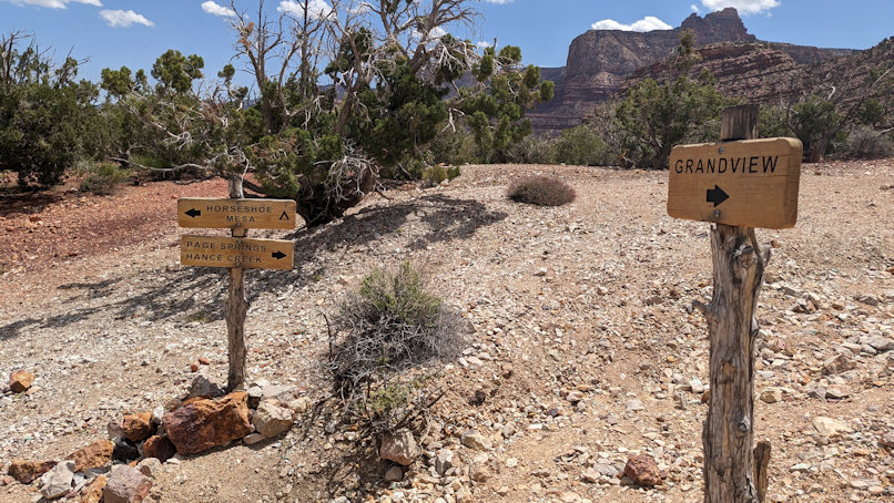
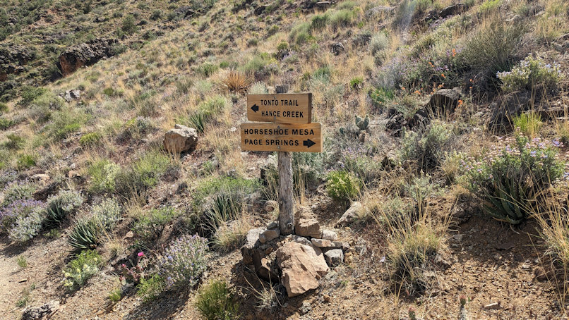
At the start of the mesa are a couple of junctions. As the Grandview Trail continues on northward, the Hance Creek Trail descends off of the mesa to the east, and the Cottonwood Creek Trail descends to the northwest. See zoomed in map below.
We stash our extra water before heading down Hance Creek Trail toward Page Spring.
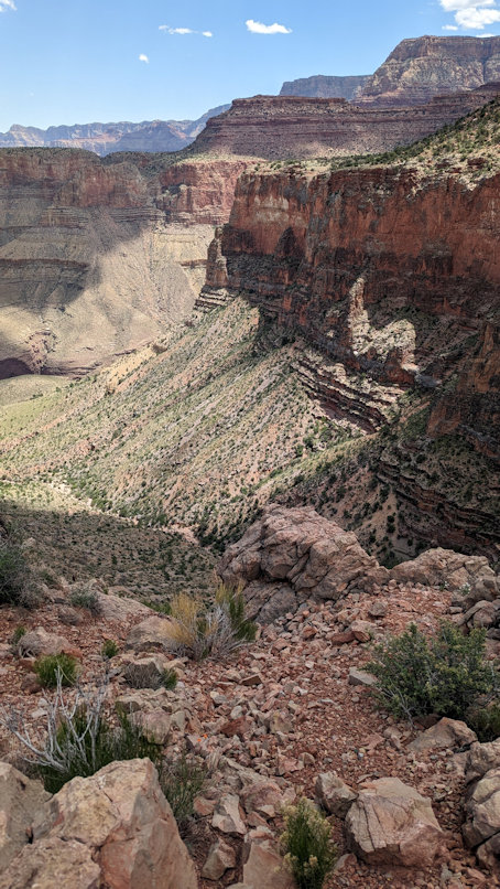
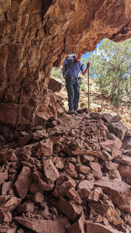
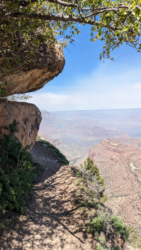
Hance Creek Trail may be relatively short, but it is also very steep. At left, below, is the view down toward Hance Creek. At right, a shady overhang above Page Spring.
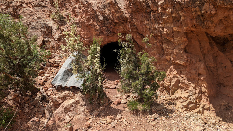
The underside of Horseshoe Mesa was explored for copper, the following being a mine next to the Hance Creek Trail.
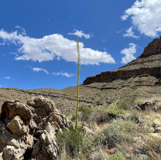
Of course, the hiker must also be prepared for the air temperature to rise with descent further into the canyon. The Hance Creek Trail gets less steep below Page Spring and, approaching the Tonto Plateau, we begin to see Yucca and Agave (left photo below). The Agave only bloom after twelve to fifteen years and then die. The long stalks they shoot up initially sprout white blooms, but these are past their prime.
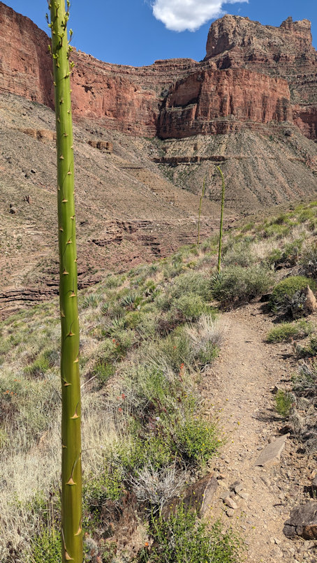
The Tonto Trail, for its entire length, remains within a fairly narrow elevation band, with few steep ups and downs. The trail must continually pass into and out of side canyons and drainages. These are the usual spots where the Tonto might get a bit steeper.
We reach Hance Creek, which flows all year, and the camping area has trees. The following video was taken from the Tonto Trail just east of Hance Creek. The trail, on both sides of the camp, is fifty feet or so above the creek. The video starts with a view upstream, toward the south rim, and pans around to look downstream. Although you cannot see flowing water, the stream flows clear and cool.
Below is a view from the Hance Creek camp, looking up toward the south rim.
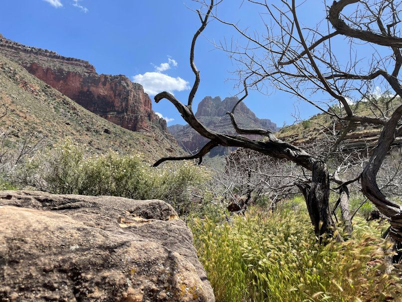
Hance Creek camp has good stream access and numerous spots to pick out for your tent.
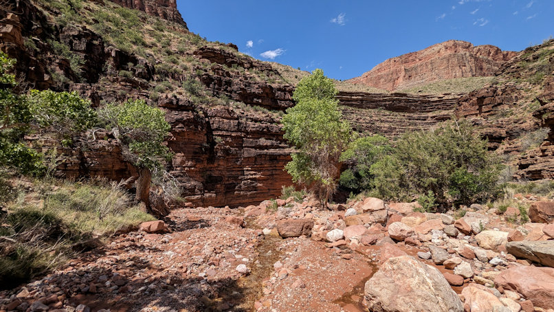
The creek may not look like much, but it is plenty in this desert landscape. One only need consult the Bible to get an idea:
Isaiah 32: “See, a king will reign in righteousness and rulers will rule with justice. Each one will be like a shelter from the wind and a refuge from the storm, like streams of water in the desert and the shadow of a great rock in a thirsty land.”
Having two days at Hance Creek is convenient, providing rest for weary bodies and lots of time to think and have one-on-one conversation. The Grand Canyon is a large sanctuary made by The Creator. It does not need to present a sign as you enter, asking you to be reverently quiet. Silence and desolate space here drown out the sound of even loud and obnoxious people. For the receptive, as with a church cathedral, the canyon may draw the questions of who or what could be behind this existence of ours.
Not a homogeneous mass, the canyon air constantly shifts, with heating or cooling and the varying pressure of elevation. We get a breeze at Hance Creek as the afternoon wanes.
For a philosophical Christian, an arresting paradox might present itself. We believe John illuminated a truth about our existence when he wrote, “God is love.” If love is a positive life force from the Creator of the universe, how do we reconcile that this canyon seems indifferent to our survival? If we screw up, we could die here. (Well, you know, the moon also doesn’t care about us. The vast emptiness of space seems pretty cold and indifferent.)
Perhaps, an answer is that the cathedral also exists to serve us communion. Even alone on the moon, maybe we can experience the presence of God. We may live best by seeking unity with The Creator and community with each other.
As we leave Hance Creek, heading west on the Tonto Trail, Aaron has an interesting suggestion. We know that still photography has limited ability to convey the vastness and depth of this space. Even video cannot always suffice. Aaron suggests that the depth of Hance Creek side canyon, to our right as we walk, might be better represented in a video that he takes while walking:
We hike around the east leg of the mesa to the junction of the Tonto with the Grandview Trail. A return back up the steep Hance Creek Trail would be shorter, but we want to check out the Tonto here and the second of the three ways to get up onto Horseshoe Mesa.
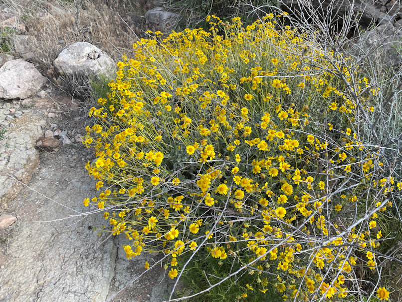
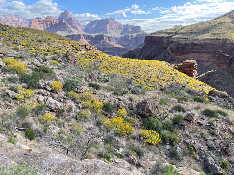
The blooming desert unfolded before us. First, examine the yellow bush up close, then see an entire slope on the Tonto Plateau covered with them.
Another agave, having decided its time has come:
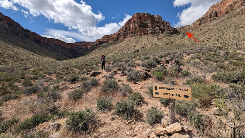
The climb on Grandview from the Tonto Plateau will not be quite as steep as the Hance Creek Trail had been. Note the red arrow showing the route
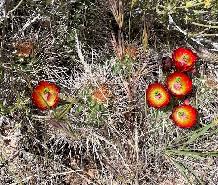
On the way up we see more unassuming beauty:
A look back north toward the Colorado River and down toward the Tonto Plateau, with the trail we just walked:
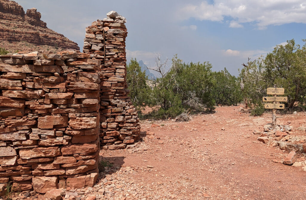
On the mesa, we again see what miners have left, a stone building:
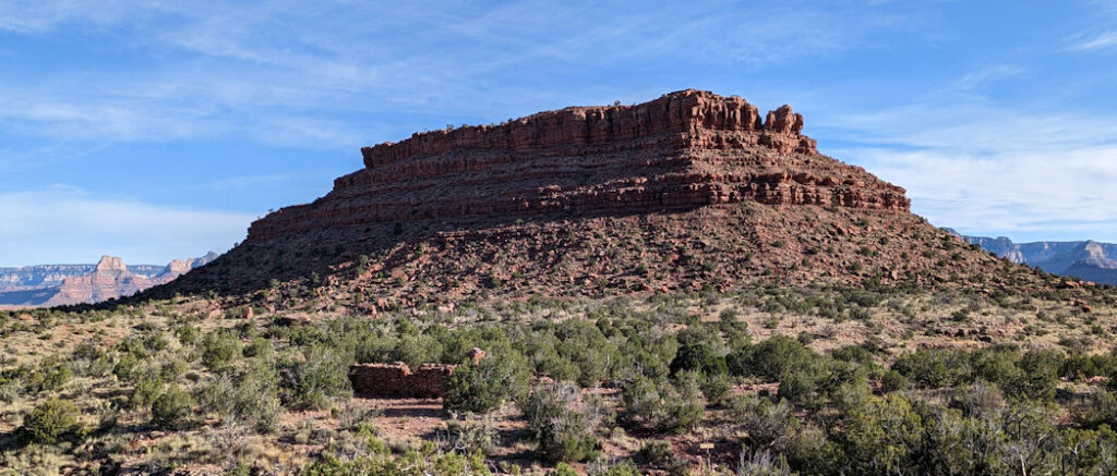
Below is a view toward the north at the little knoll on top of the mesa. Note the miner’s building in the foreground. The mesa camp is around to the right of the knoll.
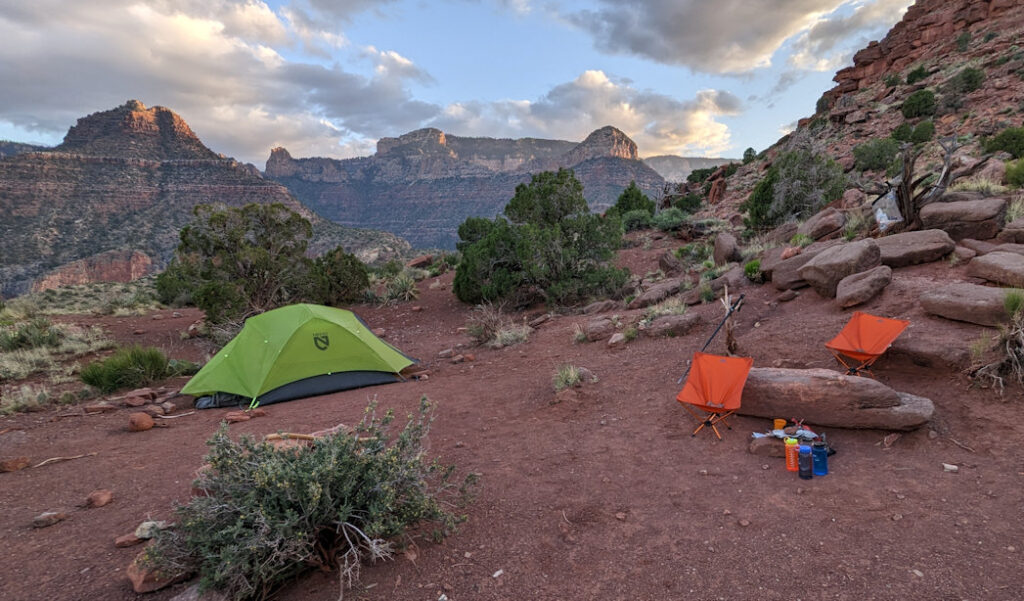
Having retrieved the water we stashed, we set up camp on Horseshoe Mesa (looking toward South Rim):
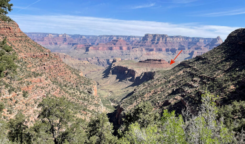
The next day, we head out. Rising above the mesa elevation, look back at where we were (red arrow):
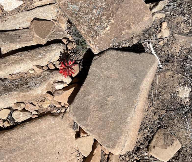
This wildflower rocks!
Smoke drops into the canyon from prescribed burning south of the park. Compare the middle shot with the one of Aaron when we started.
It was a great trip. We did encounter a few people down at Hance Creek who had come from further east on the Tonto. They had been at Hance Rapids and had hiked in on the New Hance Trail, which starts further east along Highway 64. Hmm… Gotta come back!
1 thought on “Grandview Trail Hike (Grand Canyon)”