(November 2022)
Bodega Bay seems of greater interest to fisherfolk. I go out along the rock berms that protect the entrance to the harbor, along Doran Regional Park. No pristine beach here.
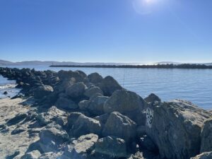
From Doran, inward at the harbor:
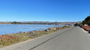
Continuing north from Bodega Bay, a short drive returns us to beaches with surf:
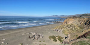
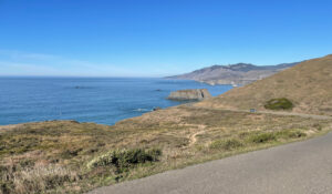
The beaches will be interspersed with steep cliffs and rock outcrops as I continue northward. The view near Gleason Overlook:
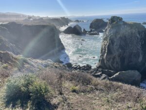
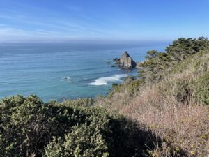
Goat Rock juts out in the distance:
and a closer look:
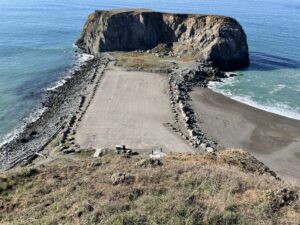
This interesting area is just south of the Russian River, as shown below:
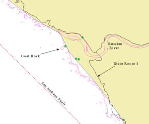
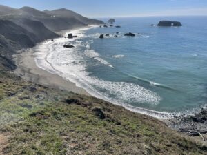
The map was created using a GIS layer, in light yellow, that defines the California Coast. Yet, that layer is less precise than the one shown with magenta lines. That layer gives us a much more accurate idea of how jagged this coastline is, with many rocks near offshore. What would you say if someone asked, “How long is a coastline?” The best answer is: “It depends!” How closely do you want to measure the coastline? Is the coastline a different length between high tide and low? Looking south from Goat Rock area:
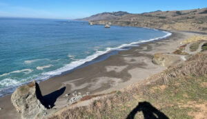
Looking north from Goat Rock area:
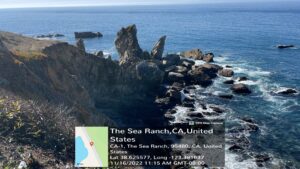
The Sea Ranch:
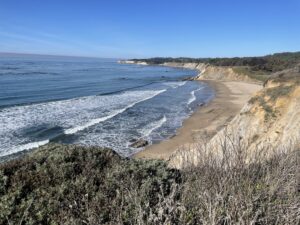
Heading north toward Point Arena, we check out the beach at Gallaway:
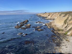
Point Arena Lighthouse in the diastance:
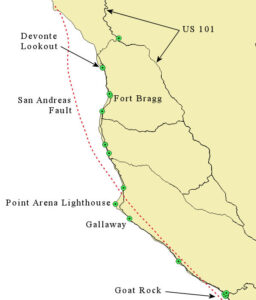
This northern section of State Route 1 shows the San Andreas Fault going out to sea and leaving the California mainland for good. The map below shows its northern terminus, where it meets the Juan de Fuca Plate, which extends on up past both Oregon and Washington to British Columbia.
North of Point Arena, the view from Manchester:
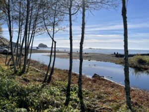
Albion River outlet to the Pacific:
The community of Fort Bragg:
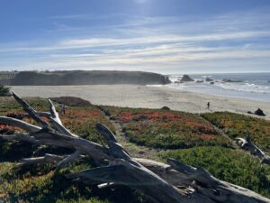
Ten Mile River:
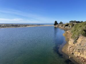
The beach at Ten Mile River:
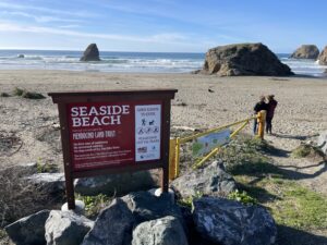
The beach at Westport, surf in motion:
At Devonte Lookout we have almost come to the farthest north point that State Route 1 remains on the coast. Views from Devonte follow, then a map. From Devonte, looking south:

From Devonte, looking north:
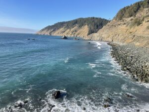
Juan Creek enters the Pacific at Devonte:
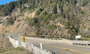
State Route 1 turns inland and terminates at US 101:
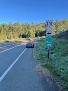
As shown in the map below, to continue along the coast instead of following Route inland would require taking local roads that do not go all the way through to Eureka. To access coastal locations in between would take time. As with what I reported in Part 1 of this Travelogue, concerning the area at Point Conception in Southern California, I will have to get back to you on this northern less accessible area. Worth exploring, but not today.
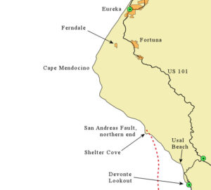
Others have reported that getting to Usal Beach, north of where State Route 1 turns inland, can be done with a passenger car, but four wheel drive is recommended. North of Usal is extremely rough going on barely maintained gravel roads. Access to Shelter Cove, where the San Andreas Fault ends, can be accomplished on a paved road that comes west from US 101 at Redway. Points further north, such as Cape Mendocino can be accessed by coming down from the north at Ferndale.
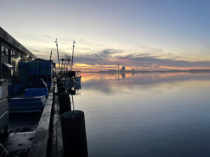
Evening descends as I reach Eureka:
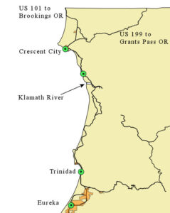
The next day, I finish this travelogue, as shown on the following map:
The beach at Trinidad:
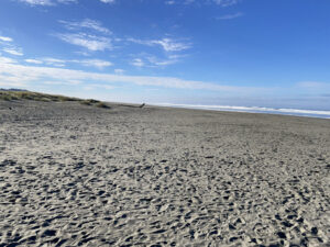
The surf just north of the Klamath River outlet to the Pacific:
Crescent City:

This travelogue is complete. I head home to Oregon.