(November 2022)
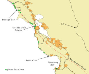
On the second day, near dawn, I started north from Santa Cruz, not knowing how far I would get that day. The map below shows that I continued on State Route 1 on the east side of the peninsula, crossed the Golden Gate Bridge, and immediately headed back down to the coast at Muir Beach.
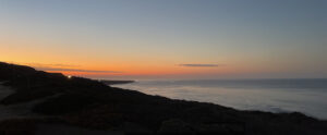
A red dawn greets me at Scott Creek Beach:
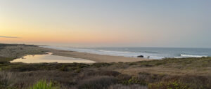
And mist is already clearing out near Gazos Creek Beach:
Behind me a north-south ridgeline divides this coast from the Bay Area megalopolis. A few roads provide access over the roughly 750 foot height. As shown on the map above, the San Andreas Fault runs approximately below this ridgeline and has been moving closer to the coast as we go north. Half Moon Bay, below, remains on the Pacific Plate, but the fault line will cross beneath the road north of there, before we get to San Francisco.
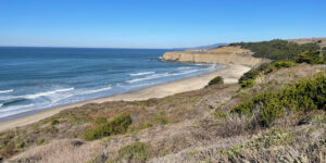
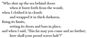
So close to the urban area, yet this empty beach must serve as a serene escape from the noisy bustle. One might even be able to hear oneself think. Or be reminded of what God said to Job (Chapter 38: 8-11):
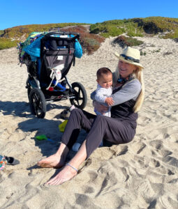
Yet, today I am not alone on this beach. A lovely woman and child enjoy the morning and let the sea air cleanse their senses. Ali Haazer says she “lives for the joy of all children.” She supports adaptive surfing and is an Equine Therapy assistant—my conclusion: Ali must believe in the power of love.
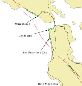
North from Half Moon Bay, Route 1 enters San Francisco and turns inland to meet the interstate system. I take Skyline Boulevard to stay along the coast. As shown on the map below, just before leaving Route 1, I cross over the San Andreas Fault on its way out to sea. It returns to the coast north of the Golden Gate.
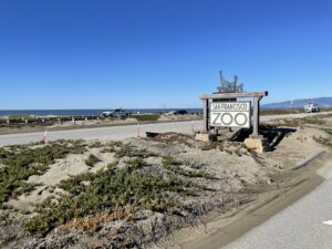
I love zoos but must keep going this time.
Having crossed over the San Andreas Fault, I could look out northward from Lands End and imagine the two plates meeting under the water outside of the Golden Gate.
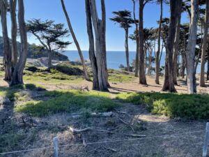
Didn’t I have good November weather? All those “atmospheric rivers” that came slamming in here over the winter will have obsured the following bridge views with driving rain and fog.
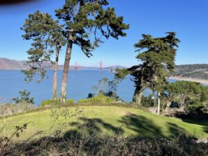
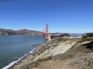
Crossing the bridge, I soon returned to the coast, catching State Route 1 again at Manzanita. As with Half Moon Bay, this area north of the Golden Gate offers plenty of great escapes for urbanites if they can tear themselves away. Muir Beach:
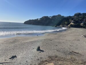
And looking back southward at Muir Beach from a little promentory north of it:
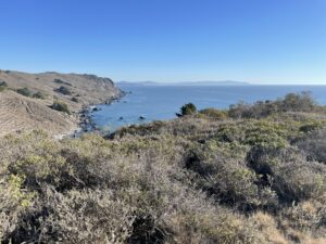
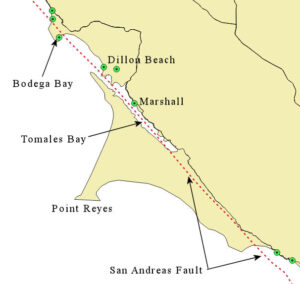
The San Andreas Fault has returned ashore as we come to the small community of Marshall along Tomales Bay. As the map below shows, the fault line runs straight up the middle of the bay. On the Pacific Plate, we have a state marine conservation area at Point Reyes.
I blow past the turnoff to the National Seashore at Point Reyes. (see map below)
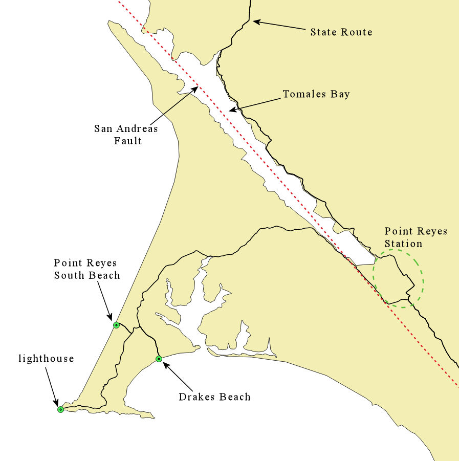
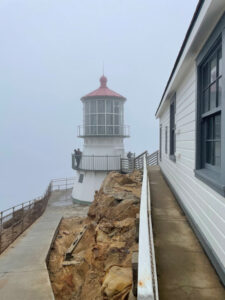
The drive is twenty miles from Point Reyes Station to the lighthouse (below). Giving the National Seashore the visit it is due will have to wait. See my separate blog post for more on the area.
From Marshall, a view of tomales Bay and the Point Reyes peninsula across:
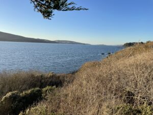
At Dillon Beach we stand right over the top of the San Andreas Fault.
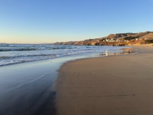
A pristine beach, Dillon is home to the endangered Snowy Plover:
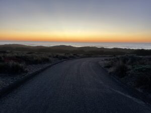
Sunset at Bodega Bay:
You should be a part of a contest for one of the most useful websites on the web. I am going to recommend this website!
Thanks! I appreciate that you took the time to comment.