(November 2022)
Predawn and having dropped off my wife at LAX so that she could return to her job, I began a drive up the California coast. I wanted to see all the beaches and let the massive wild Pacific Ocean impact me.
This three-day trip features photos, videos, and thoughts from Santa Monica to Crescent City.
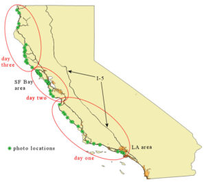
We had been in Pasadena, and a five a.m. departure resulted in relatively open freeways. Goodbye, Diane! Safe travels!
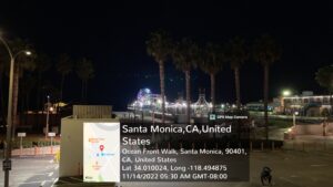
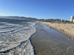
The previous day I captured the Santa Monica beach in November sun.
Wildlife is not still life, as captured in this video clip:
Driving north from Santa Monica in the dark morning, I considered how this long coastal journey would have me straddle a fuzzy boundary between wild water and safe ground, a vast deep mysterious ocean on my left, solid pavement beneath me.
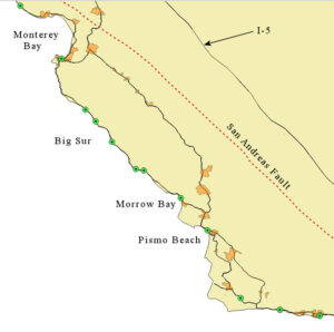
For this first segment, my route is on the Pacific Plate, the ocean side of the San Andreas Fault. But further north, the road will take me right over the top of it for many miles.
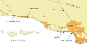
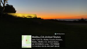
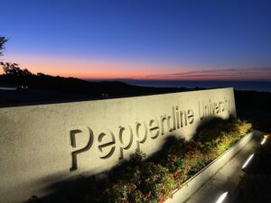
Malibu and Pepperdine University as the sun comes up:
This Pacific is a vast expanse covering almost one-third of the planet, with an average depth of 13,000 feet (about 2.5 miles). Yet, if you have a typical globe (say, 16 inches in diameter), this average ocean depth to scale would be less than a millimeter!
Time for breakfast in Santa Barbara…
A science cliché says that the number of stars in the universe is more than all the grains of sand on Earth. Bob Berman of Astronomy Magazine says it isn’t so. See his article here: sand beats stars.
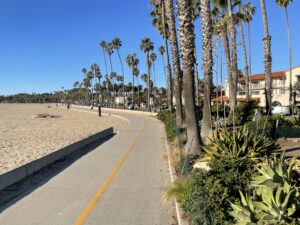
Downtown Santa Barbara isn’t the most pristine beach, but has a nice walkway and great restaurants.
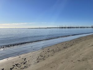
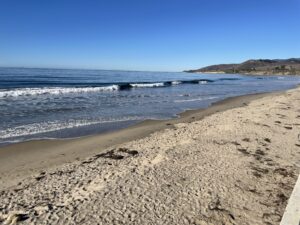
Heading out of Santa Barbara, up the coast is to go west. Rounding the corner at Gaviota, we will head more directly northward, but the entire California coast, all the way up, angles slightly westward. First stop: El Capitan Beach:
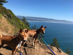
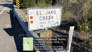
We head inland on State Route 1. To continue along the coast to Point Conception, around the bend, and up to Pismo Beach would take an entire day. Worth doing, but I will have to get back to you on that. The inland route takes us through Lompoc, but first, we notice a creek by the same name as our Basenji dog, Jaro. He and his sister, Kili, were named after Mount Kilimanjaro. This local creek, El Jaro, has an obscure meaning in Spanish. According to Wikipedia, it comes from the saying, “Arollo del Jaro,” meaning “get out if you can,” which refers to steep streams that can experience flash flooding.
State Route 1, north of Lompoc, takes us through the farming community of Guadalupe before dropping back down to the coast at Pismo Beach:
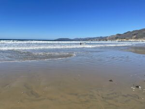
This sand might outnumber the stars, but how did these grains get here? Beaches form when rivers and streams bring sediment down from the mountains. Their ocean outlets deposit underwater alluvial fans, sand and gravel, which is then transported sideways by longshore currents, a process called littoral drift. Longshore currents switch directions at most beaches depending on the time of year.
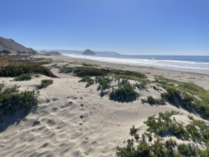
At Morro Bay, below, so much sand arrives that dunes form. How can this happen, since the dunes grow higher than the water surface? Both water and air are fluids. The flow of water causes sand ripples on seabeds. Windy air moves excess sand inland and piles it into dunes. These can become successive, similar to water ripples.
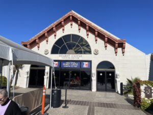
On northward, at San Simeon, is the famous Hearst Castle. You can’t see it from the visitor’s center because it is further up into the hills. Pay and take a tour, or like me, move on.
At Ragged Point, the Pacific sends relentless waves against the rising coastline rocks. Yet, all those rocks out in the water suggest that the continent might have eroded, receding eastward over millennia.
Had our parents or grandparents stood here, they would have heard this same roar and seen those same rocks out in the waves. Tens of generations further back in time would have seen the same. Don’t ocean waves give you the feeling of sharing an experience with primitive humans?
Yet, that faultline behind us marks a seam where Earth morphs in geologic time. I used to think this vast Pacific might have been where the Earth lent its crust to make the moon, having been impacted by some primordial rogue planet. Scientists now think such a collision occurred, but this Pacific Ocean is not a scar. The tectonic plates have glided all over the planet since then. Did you know that Antarctica once straddled the equator?
Our lives are a mere blip in time. However, we find other mammals that want to enjoy this beach at this particular spot. Elephant seals bask and hang out at Ragged Point. If we think our lives are short, these creatures are all likely younger than teenage humans. They say female elephant seals live to nineteen years and males only thirteen.
As I continue northward, the road rises with steepening cliffsides at Big Sur:
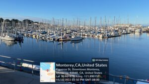
By the time I reach Monterey Bay the sun is ready to dip below the horizon.
Other mammals come to greet me:
I decide to continue north around the bay and spend the first night in Santa Cruz. See California Coast Travelogue, part 2, for the next day’s journey (which will take us over the Golden Gate Bridge and on north to Bodega Bay).
Looks like it was an amazing trip!